

Maps
Maps of the study area in the Victoria River District can be reached here.
TS CRC Savanna Explorer location map
Build your own maps of the VRD and its natural resource attributes, using the Mapmaker tool on the Tropical Savannas CRC website.
Regional Land Tenure Map showing land tenure in the study area and its surrounds.
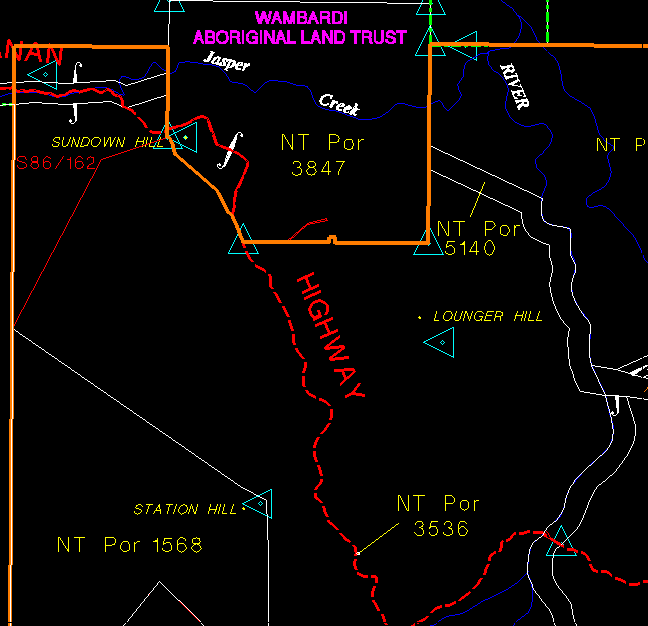
Project proposal area - the area within the boundary of this map is the boundary of the study area, noting that Gregoray National Park is not included in the proposal. For further information on tenure within the study area, refer to the description of land tenure, posted in the Classroom under Legislative Considerations.
Copyright
information
Last updated
18 August, 2004
by lrp@cdu.edu.au